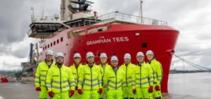
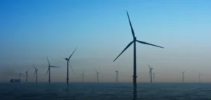
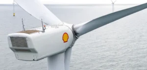
Norwegian company TGS, specializing in energy data and geophysical intelligence, has secured a contract for the characterization of an offshore wind farm site located off the coast of Norway. The contract notably includes comprehensive seabed geophysical data acquisition, imaging, and interpretation services. Operations will be conducted using the vessel Ramform Vanguard, specially equipped for this mission and set to begin work in early July for an estimated duration of 25 days. Final results will be delivered to the client in the first quarter of 2026, while imaging and interpretation processes will begin concurrently with data acquisition.
Advanced exploration technology
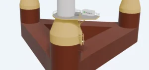
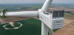
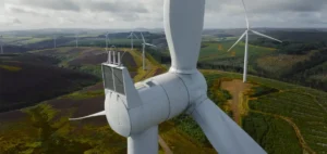
For this contract, TGS will deploy its proprietary technology, named Ultra-High-Resolution 3D (UHR3D), comprising integrated geophysical sensors and streamers that enable seismic acquisition at a high spatial and temporal frequency. This technology delivers very precise data about geological characteristics at shallow depths, a crucial factor for developing offshore wind farms. Such information will provide project developers with detailed analyses to facilitate site selection and offshore wind farm operation decisions.
Strengthened position in Northern Europe
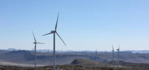
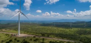
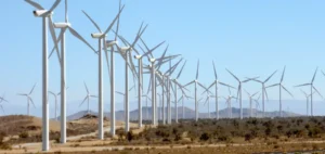
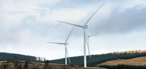
This contract further enhances TGS’s operational presence in Northern Europe’s offshore wind sector, where the company has been conducting an extensive geophysical acquisition campaign for several months. This region is currently one of the world’s most active markets for the development of new offshore energy capacities. According to TGS, demand for these specialized geophysical exploration services is notably growing, due particularly to the high accuracy of collected data, meeting the stringent expectations of industry stakeholders.
A competitive approach
Kristian Johansen, CEO of TGS, stated: “We are very satisfied to secure this new contract in Northern Europe, extending our acquisition campaign in the region by nearly a month. We are witnessing strong client interest in our high-quality geophysical approach, enabling improved characterization of shallow geological targets.” The executive also highlighted that this method offers a relevant alternative to more traditional geophysical methods usually employed in offshore wind projects.